- The Molière project aims at developing innovative solutions for mobility services through the use of these technologies
- From 22 to 26 March a hackathon will be hosted to tackle the challenges faced when implementing new services
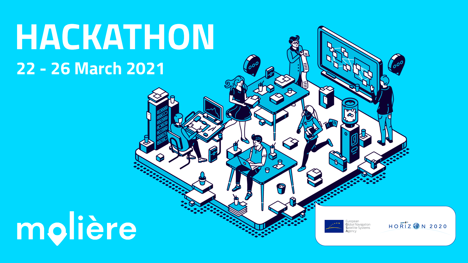
The Molière hackathon will be held virtually in Barcelona (Spain) from 22 to 26 March 2021. During 5 days, the new generation of entrepreneurs, GNSS (Global Navigation Satellite System) and Blockchain experts will work together to improve the biggest issues in urban mobility and create world-class innovative solutions by tackling the proposed challenges.
The goal of the Molière hackathon is to identify the needs of mobility services and to prototype ideas and products that will fuel the innovation stream of the Molière concept and vision. By the creative and innovative use of digital technologies, participants will create different solutions that benefit people and the mobility sector in a range of fields.
The introductory webinar (22 March) will take place at CASA SEAT, in Barcelona (Passeig de Gràcia, 109, 08008 Barcelona), where the Molière project and hackathon will be presented to the general public. GNSS and Blockchain technology experts will inspire the participants of the Molière hackathon and announce the challenges the hackathon should resolve. The event will be streamed virtually too, giving the opportunity to participate while ensuring the safety measures against COVID-19. After this webinar, teams will work in an online environment to develop their solutions.
This hackathon will provide an opportunity for brilliant young talents to test their skills with the help of mentors and experts, who will guide them throughout the competition, while also experiencing the unforgettable thrill of coming together with peers who share the same passion for digital technology and innovation.
The two challenges teams will tackle in this first Molière hackathon edition will be:
- Improve inaccurate geo-positioning of sharing vehicles due to critical zones of the city. – A frequent issue with urban sharing services is the room for improvement of geo-positioning accuracy in certain areas. Therefore, the first challenge aims to find solutions to improve the positioning systems to potentially obtain more precise data for the Data Marketplace.
- Smart contract definition for mobility data exchange of a marketplace. – The second challenge of the Molière hackathon aims at providing the technical architecture for the platform within the framework of a smart contract. Thus, participants are asked to define the protocols and tools that will be used during the data exchange in the open mobility data layer (MDM) with a special focus on geo-positioning data.
Participants will have to work on their solutions until 25 March, when their ideas will be presented to the jury who will select the finalists. After these, they will present their final projects on 26 March. During the hackathon days, all groups will have the opportunity to attend individual online mentoring sessions to get feedback on their work and take part in a co-creation and collaboration environment. One prize of 750 EUR will be awarded for the winning group of each challenge.
More about Molière Hackathon: http://moliere-project.eu
REGISTRATION AND FURTHER INFORMATION:
- Registration (free) through the website: http://moliere-project.eu
- Registration deadline: 22 March 2021
- Hacking days: 22 – 26 March (see full agenda on the website http://moliere-project.eu)
- Participation requirements: Participation in the hackathon is open to individuals aged 18 or older. The hackathon is open to those who are interested in technology and innovation applied in the mobility sector and have an interesting project or another idea to develop within the scope of the challenges proposed. More information about the specific skills required in each area can be found on our website (http://project-moliere.eu).
- Awards: There will be one winning team per hackathon challenge (two winning teams in total). Each of the winning teams will be given a financial award of 750 euros.
BACKGROUND
About Molière
Molière has been awarded 1,9M € in funding by the European GNSS Agency. The goal is to promote more sustainable, affordable, equitable, and accessible mobility, where micromobility and shared mobility services increasingly complement public transport. For the next months, a consortium coordinated by FACTUAL, and with the participation of CARNET – CIT UPC, Universitat Politècnica de Catalunya · BarcelonaTech (UPC), Osborne Clarke, SEAT, Iomob – The Internet of Mobility, and ATM – Autoritat del Transport Metropolità, will work to demonstrate a diverse set of concrete, highly relevant mobility scenarios and use cases where geo-location data is key, addressing the needs of cities, public transport authorities, mobility service providers, and end-users.
About GSA
The GSA manages public interests related to European Global Navigation Satellite Systems (GNSS) programs, European Geostationary Navigation Overlay Systems (EGNOS), and Galileo. Galileo provides improved positioning and timing information with significant positive implications for many European services and users. Thanks to the multi-constellation of receivers that Galileo adds to, users can now know their exact position with greater precision. Galileo’s dual-frequency capability offers significant advantages in terms of achievable accuracy, but also in terms of improved resistance to jamming. The products that people use every day, from the GPS in their car to a mobile phone, benefit from the increased accuracy that Galileo provides. Galileo helps make Europe’s roads and railways safer and more efficient. Galileo boosts European innovation, contributing to the creation of many new products and services, creating jobs, and allowing Europe to own a greater share of the global market for added value services. For more information visit https://www.gsa.europa.eu/


